
An Afternoon Walk Around Cranborne Chase

After a busy summer, my friend and I finally managed to find an afternoon when we were both off work.
We have been meeting up like this for a few years now. Every couple of weeks, or sometimes a little longer, we get together and go for a walk somewhere in the countryside. Sometimes we visit an old building, historic site or folly. Sometimes we simply pick an area and see where the paths take us.
A lunch somewhere is always involved, and this time we headed towards Cranborne Chase, with a walk to or stop-over at Compton Abbas Airfield somewhere in the plan.
It was the end of September, and Dorset had returned to its usual quiet self. The summer visitors and holidaymakers had gone home, leaving the county to the locals. A Thursday afternoon, as with all our mid-week trips, is usually a fairly quiet time to be out.
Today was no exception. Apart from one person walking a dog on a distant hill, we saw no one else in the countryside, not even a farmer.
Starting in the woods
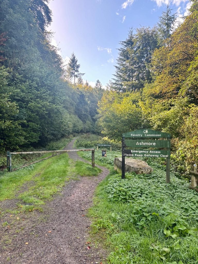
We parked near the Forestry Commission entrance at Ashmore and headed into the woodland, as it seemed a pretty large forested area to explore.
According to What a Walk I use, the woodland we entered is named Washers Pit Corpse. I use the names shown on the What a Walk website for some of these areas because it gives names to parts of woods and the countryside that aren’t labelled on Google Maps.
We never have a very detailed plan, only a rough idea, and we wing it most of the time, just seeing what we stumble upon. My friend was driving, so I was buying lunch.
We followed the path into the woods, but it wasn’t long before we made a sharp left turn off the path and straight up an incline through wonderfully damp, mature native woodland.
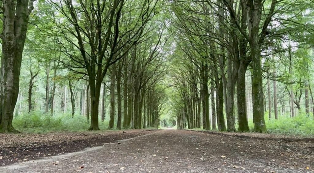
The ground was covered with fallen leaves and the trees were mature and established. There was a lovely, subtle sound of birdsong above us.
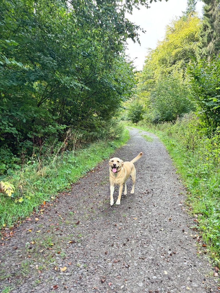
My friend’s dog seemed quite happy with the arrangement. She’s a very quiet and well-behaved Labrador, and this was just the sort of walk she loves.
We eventually emerged from the woodland into some fields, where we followed trail markers along a route. It was strange to see how much fresh stinging nettle growth there was for the time of year. The weather has been mild, so I presume the nettles have decided on a second flourish.
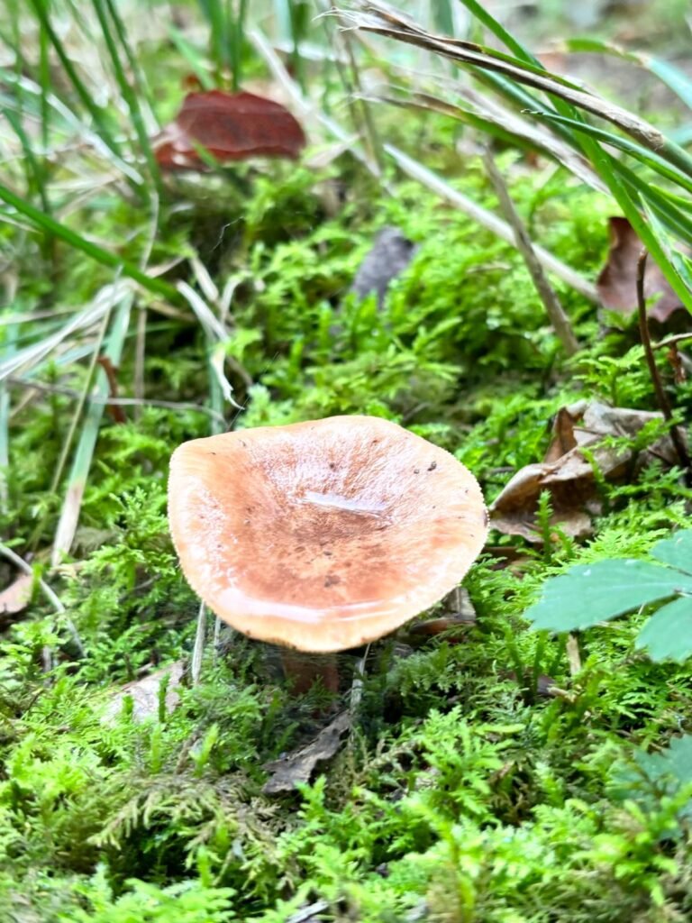
There were also plenty of mushrooms appearing around the woodland and in the grass, indicating that despite the warm daytime temperatures, the wetter autumn weather was taking a hold. We climbed from 180 metres at the beginning of the field section to 210 metres at the end.
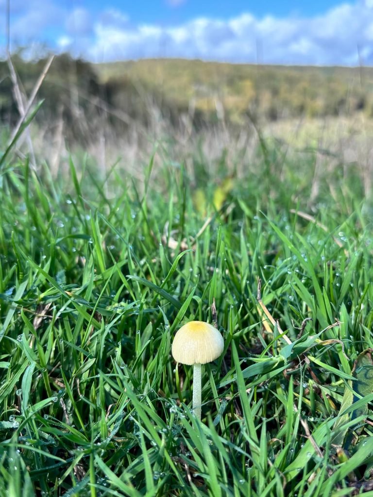
Across the fields and the missing waymarker
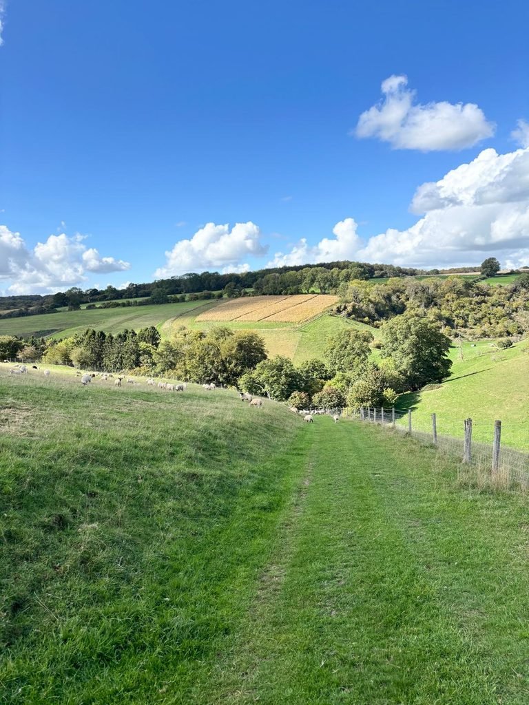
The route brought us out just before the village of Ashmore, where we decided to cross the road and continue following the bridleway through a series of fields and along the edge of West Wood.
There were young lambs in some of the fields, and this is where we briefly lost the route. Both our maps pointed to a zig-zag section of the route. We wandered along a fence looking for an entry, or even a sign or route marker. No signs or trail markers were visible, so we took a chance and went through a gate.
We spotted a broken post with bridleway markers lying in a bramble bush. We lifted it out, propped it up so it would be visible for the next visitors, and carried on.
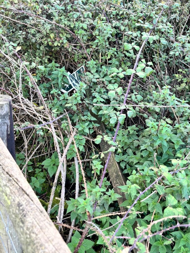
I have come across things like this a few times now. Whether they are accidentally broken, deliberately moved or simply left where they have fallen, I don’t know. It makes me question the walking apps, and also whether I am are trespassing.
Continuing along the bridleway, which skirted the edge of West Wood, brought us out on the smaller road leading off Spread Eagle Hill and close to the entrance of the airfield.
This is where we crossed over the road, only to be met with a closed bridleway and some maps and information about the closure.
Checking our maps, it seemed the closed route cut across the grass runway of the airfield, which wasn’t ideal. Instead, we opted to walk along the road for around 50 metres before ducking through a gap in the hedge and entering the car park of the airfield.
Compton Abbas Airfield
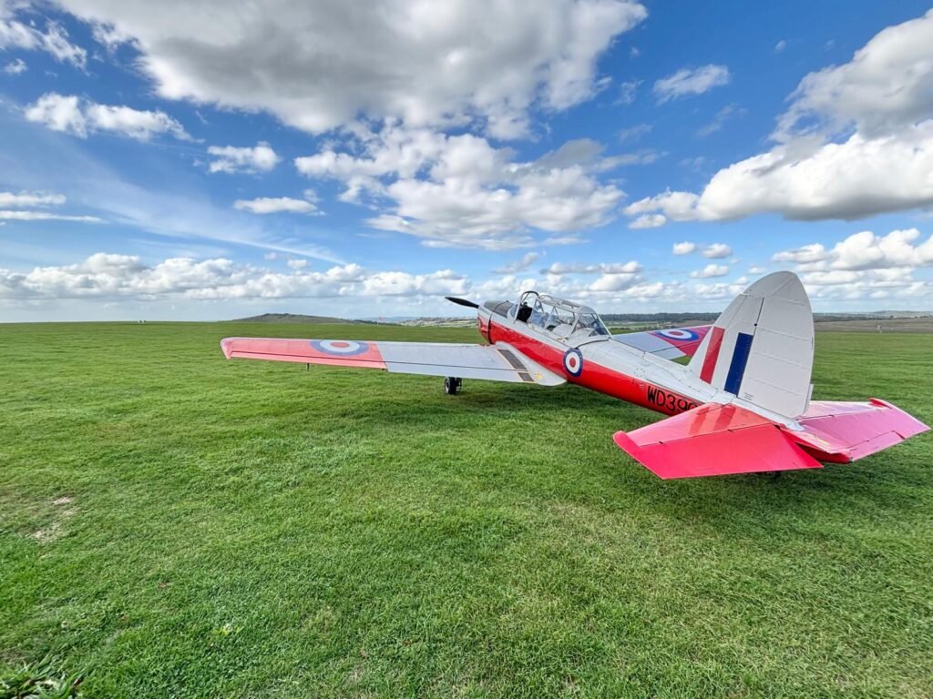
There were several small, light propeller aircraft lining one side of the grass runway, with the rolling hills of Cranborne Chase stretching away beyond them.
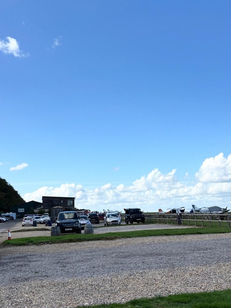
It was a lovely setting. The restaurant has large floor-to-ceiling windows that bring the outside in, with clear views across the airfield. Planes were lined up outside and there was plenty of activity without it feeling particularly busy.
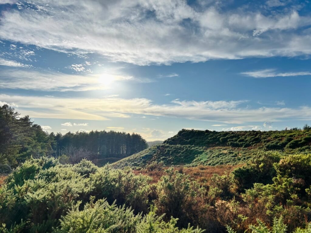
A bright blue sky, white clouds and a little warmth from the September sun made it a very pleasant stop-over.
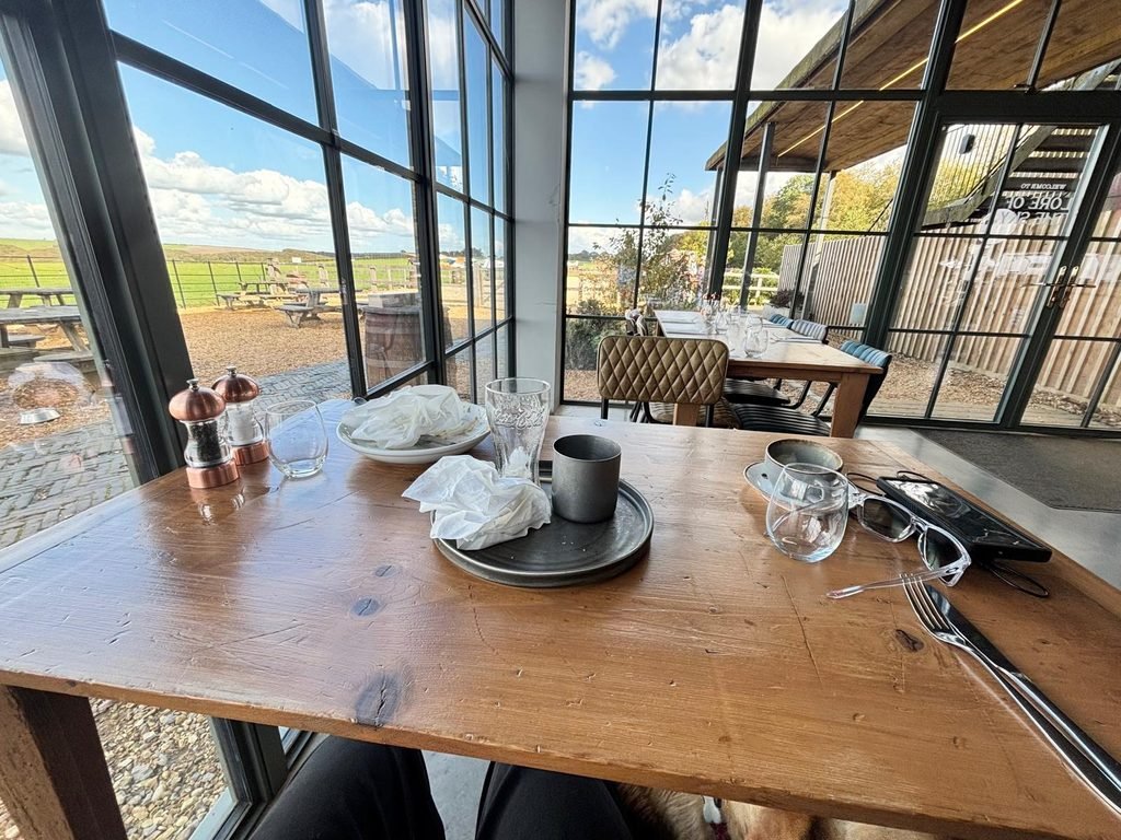
The menu wasn’t huge, but there was enough choice for us. My friend had chosen a chicken pie but ended up with a steak or venison pie because the pie filling had been changed. He said it was really good. I had the burger and chips, which was nice too.
The restaurant was also dog friendly, which was perfect. The dog was allowed inside with us, where there was a water bowl close to where we sat. There were also a few water bowls available outside in the seating area.
Across Fontmell Down
After lunch, we watched the planes landing for a bit before heading off and making our way back to the car.
We decided on a different route back. Instead, we made an educated guess and did a little winging it as we headed towards Spread Eagle Hill Road and across it to Fontmell Down.
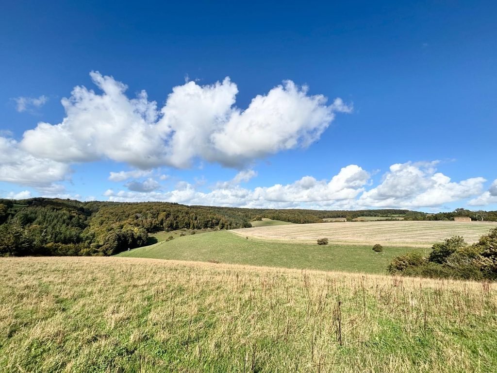
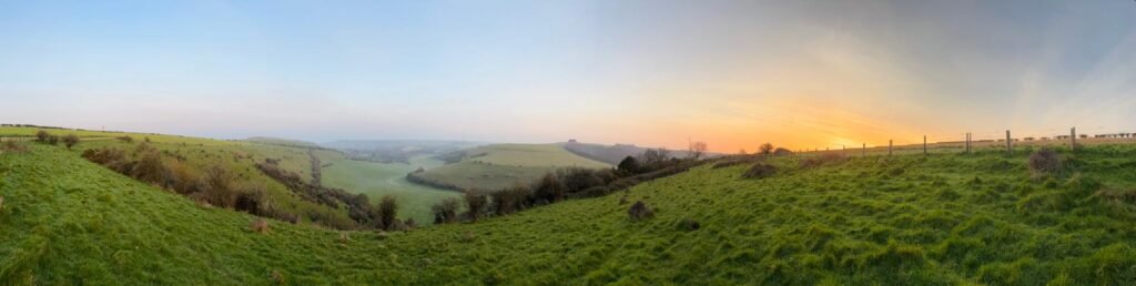
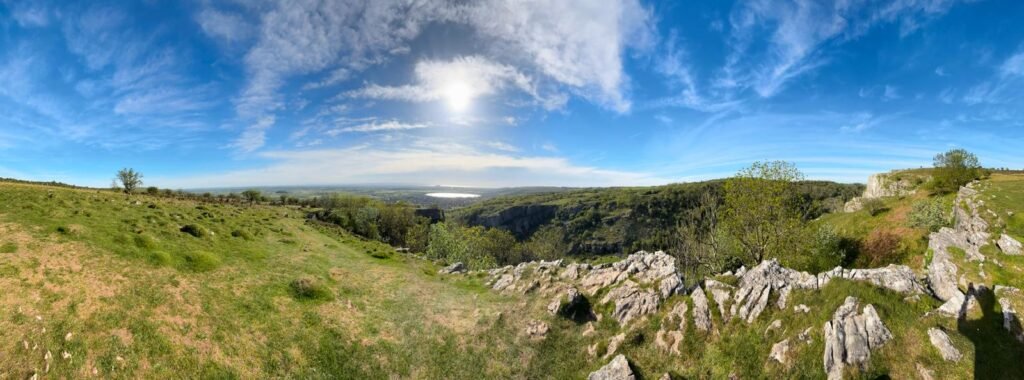
There seemed to be a route that skirted the top contour of a bowl-shaped valley, instead of having to drop down into the deep valley and climb up again.
This area did have an information board which indicated we would emerge further down the road, where we would be able to cross over and enter Fontmell Wood.
Mid-week and at this time of year, these are the places that are not busy, and you can sometimes walk for quite a while without seeing another person.
Fontmell Wood
The route took us into Fontmell Wood, which was a wonderful mature woodland, with a bridleway and areas marked as private property. The route became overgrown as we headed towards an area known as Ashley Knap.
Eventually, the trail brought us towards the edge of Ashley Knap, where we emerged on the opposite side of the road and woodland from where we had parked.
A good afternoon out
The two entrances into the woodland were only a few tens of metres apart. We had gone into the woods from one side, walked through Ashmore, across the fields, around West Wood, past Compton Abbas Airfield, across Fontmell Down and through Fontmell Wood before somehow emerging almost exactly where we’d started.
We had gone full-circle and taken a lovely longer route, but we were in no hurry. We enjoy these unplanned walks, just seeing what we find as we wander around in our usual style.
We frequently checked the maps to make sure we were at least going in the right direction, and work things out as we went. This system is a little hit and miss, but it’s not too serious and works for us. I took a similar approach when exploring Grovely Wood, following the paths and seeing where they led.
My friend hadn’t been out walking for some time, so it was good to get him back into the countryside. The dog had enjoyed herself, we had also seen some beautiful parts of Cranborne Chase and we’d managed a decent afternoon’s exercise without turning it into an expedition. Lunch was also pretty good, and we had time to catch up.
This is what our trips are about. We meet up every few weeks when we can, go somewhere we’ve either never visited or haven’t seen for a while, walk around, look at what’s there, have something to eat and catch up.
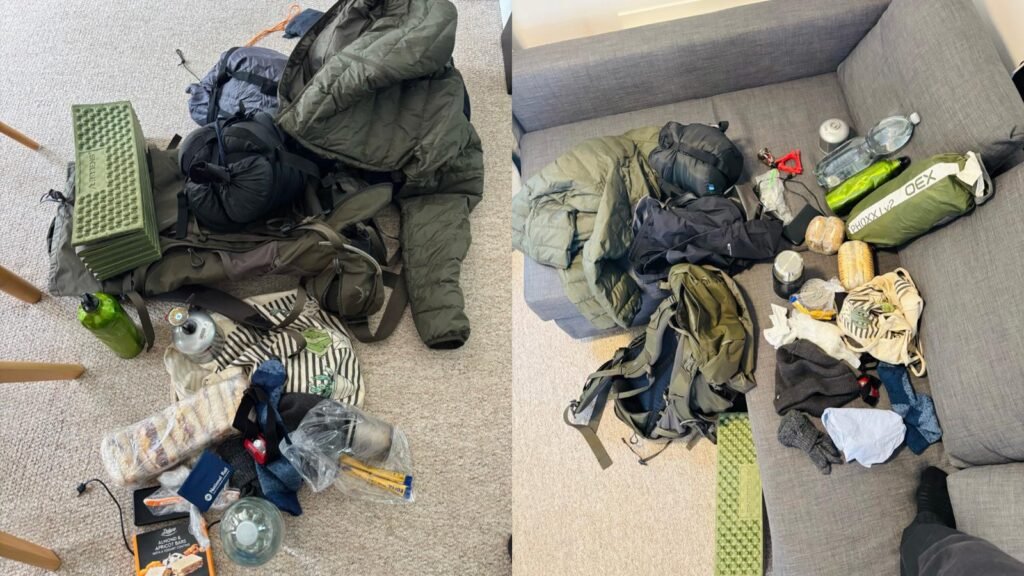
I’ve also spent a night outdoors on Melbury Down, just a short distance from here, on a low-profile bivvi camp.
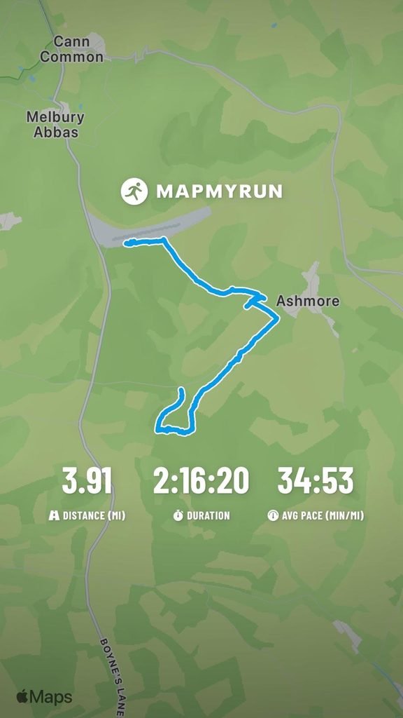
The map below shows the route I recorded during the walk. It gives a useful indication of the distance and route, but it isn’t intended to be a formal walking guide.
For an ordinary Thursday afternoon in late September, with almost nobody else around, it was a pretty good way to spend a few hours.
Responses