
M3, St Catherine’s Hill, Hampshire – OEX Phoxx 1V2 Motorway Camp
This was a return to St Catherine’s Hill in Winchester, but with a different motive this time.
The last time I came through here, it was at the end of the South Downs Way and I was heading into Winchester to catch a train home. This time, I came back with a plan – to wild camp along the M3.
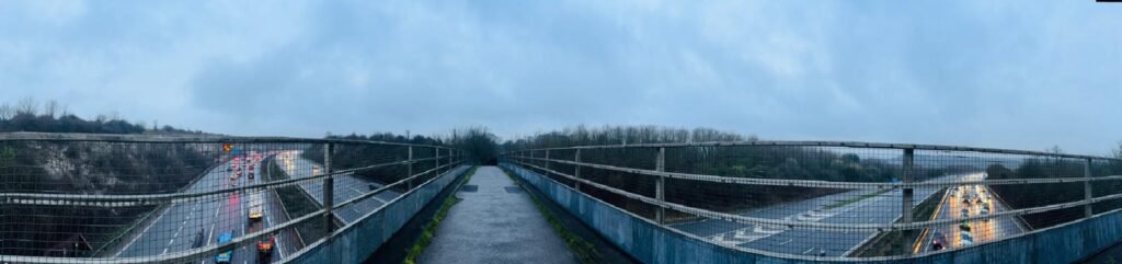
I’d often driven past this stretch where the motorway cuts through the hill, with steep banks rising up on either side, and always thought, I’d love to camp up there one day and look down on it. After spending some time on Google Maps looking at the terrain and possible spots, tonight was that night.
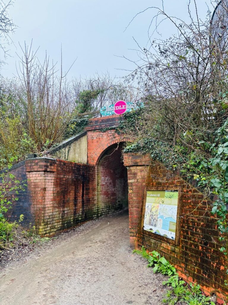
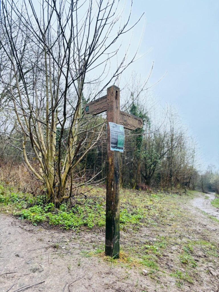
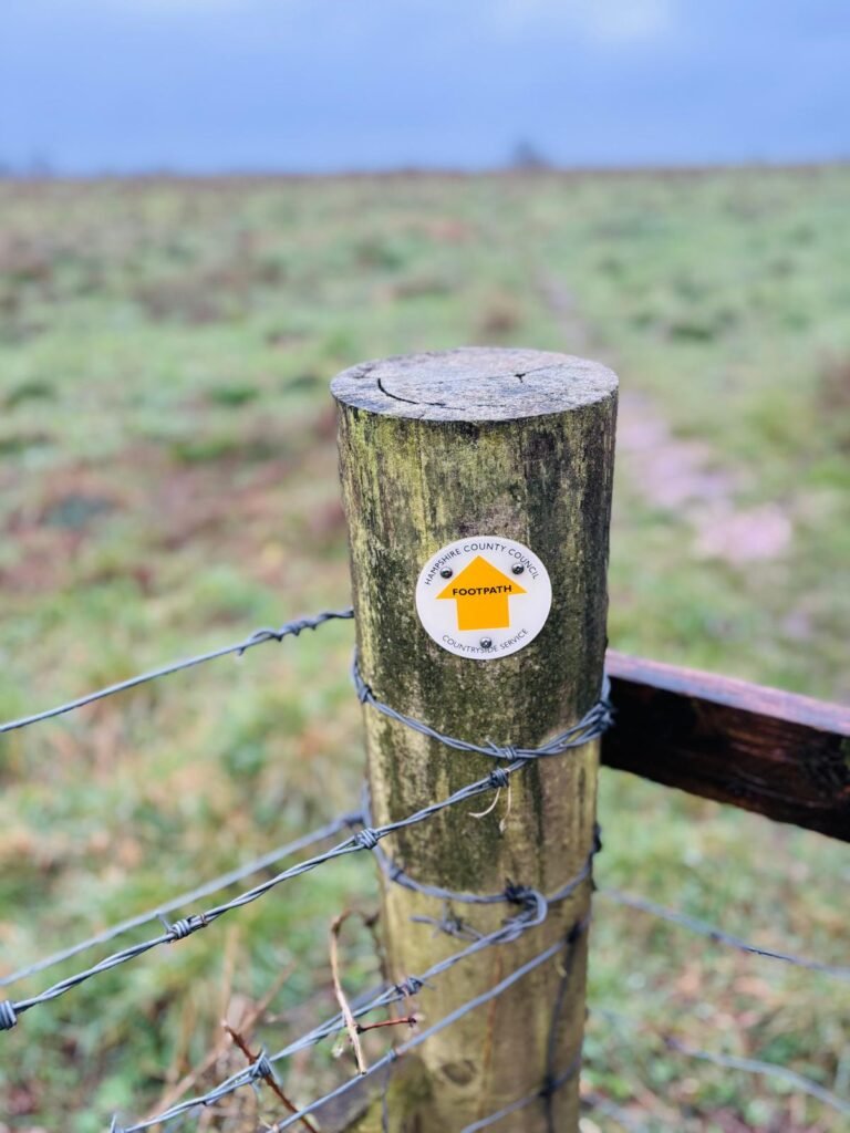
I parked in a built-up area not too far from the hill and walked in via the car park at the Cadence Clubhouse. This gives direct access onto St Catherine’s Hill, with the main path clearly signposted and leading to the top. Some of the side paths were taped off due to erosion – it’s been a very wet winter and the ground has been churned up and eroded.
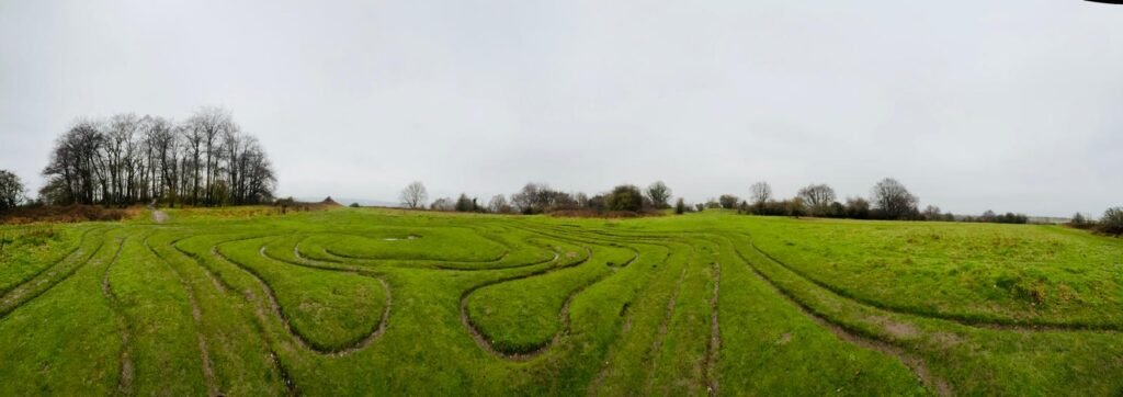
At the top, I came across the old turf labyrinth. I either didn’t notice it before, or I had missed it completely, but it’s actually a historic maze dating back centuries. Worth a quick look if you’re up there.
From the top, I headed over to the far side of the hill, dropped down into the valley, and followed the path towards the bridge over the M3. I did try a lower path running alongside the motorway, but it didn’t lead anywhere useful, so I doubled back and crossed the bridge instead.
I already had a rough idea of what the other looked like from Google Maps. One thing I noticed straight away was a parked car near the bridge. That means easy access, which isn’t ideal when you’re looking for a quiet camp.
I followed the path along the motorway side. There are fences separating you from the motorway, and I’m not one for climbing over or forcing access into restricted areas. The path eventually led to a gate into a farmer’s field with a byway running through it, but I decided to turn back.
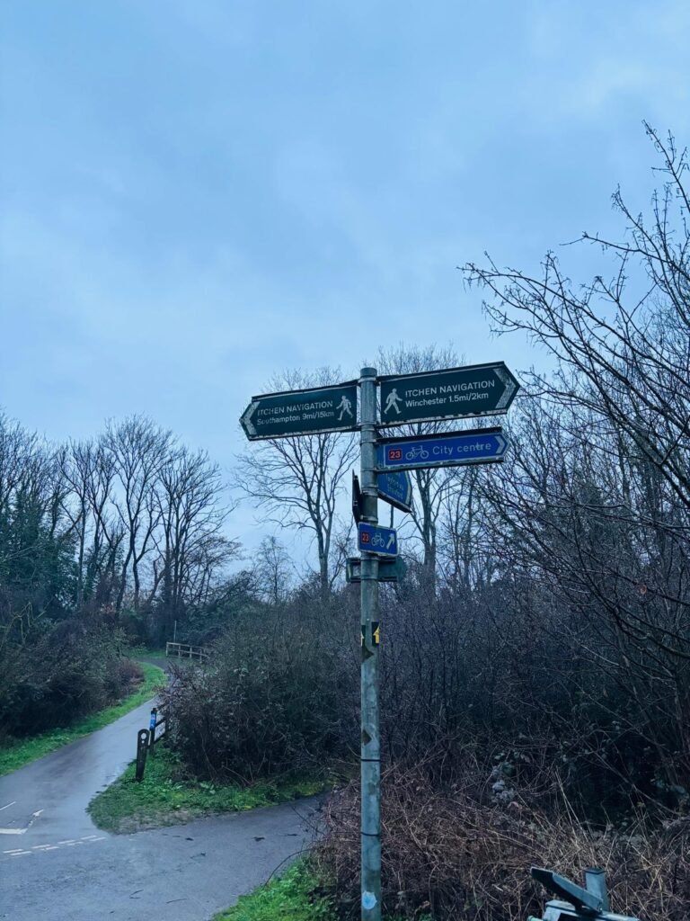
Back across the bridge, I followed the path running parallel with the M3 – the one I thought led nowhere. I walked the full length of it, still looking for something close to the motorway, but most of it was either fenced off, too exposed, or too dense to get into. Eventually, I reached a junction of footpaths and cycle lanes near the River Itchen and turned back again.
Between the motorway embankment and St Catherine’s Hill, there’s a shallow valley, and the steep side leading to the top of the motorway embankment is covered with gorse, brambles and other bushes. It is flat in parts, but that flat ground is very uneven. I spent a fair bit of time searching here. There were plenty of hidden spots, but again, nothing flat enough to setup on.
By this point, the light was going fast.
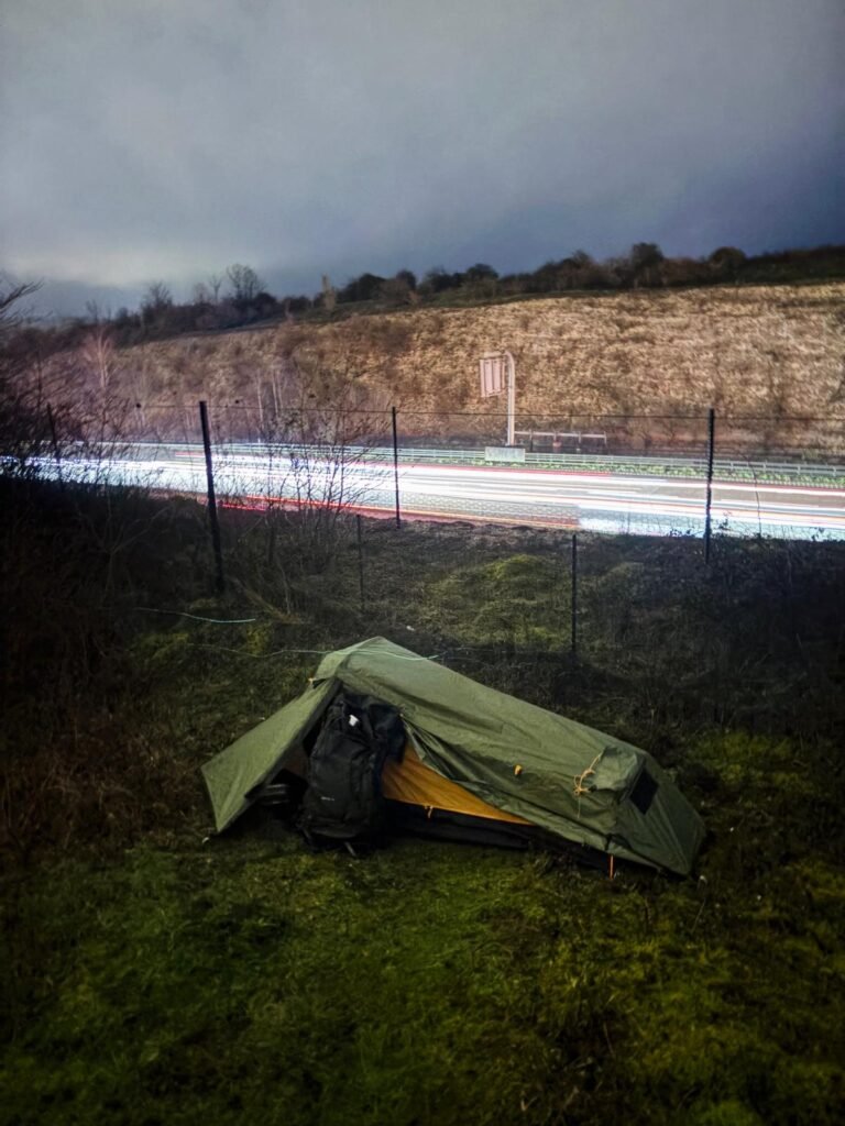
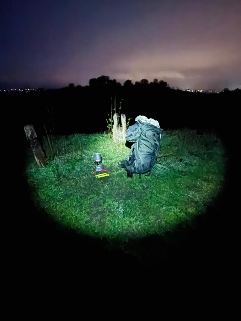
I headed back up to the main path and eventually found a small patch just off to the side, between the path and the motorway fence. Not perfect, but it would do. It’s a slightly sunken grassy gully with just enough flat ground to setup on.
I brought the OEX Phoxx 1V2 out tonight, which has a small footprint and it fitted nicely into the space. The inner sat perfectly in the gully. After it was setup, I managed to get some decent shots of the tent with the motorway behind it. Using a longer exposure because of fading light, unexpectedly, the passing cars turned into streaks of light, which was a cool surprise..
I walked back onto the path to see how visible the tent was. In the dark I couldn’t see anything. I took a quick flash photo, and I could just make out the top 10 cm of it. I’d not seen anyone on this path since my arrival. It was dark, so I took the gamble and stayed put.
I didn’t hear anyone pass all night, and only heard the hum of the motorway, which is something I don’t mind.
I woke up early, at around 4:30am, packed up, and moved slightly along the path to make a coffee by torch light. I found a flat spot near the base of an old bench, got the stove and the SilverAnt cup out, and made a quick coffee.
Not long after, I saw a familiar site coming along the path – it was the head torch of a runner. It was around 5am, and I said good morning, but I got nothing back..
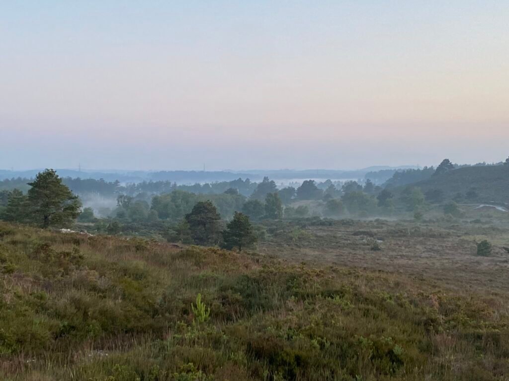
It was getting lighter, so I had a bit more of a wander. The place was empty – with just the sound of birds and the distant motorway. I dropped down into the valley, then made my way up to the top of St Catherine’s Hill. I had the place all to myself which was awesome.
It was getting lighter, so I had a bit more of a wander. The place was empty, with just the sound of birds and the distant motorway. I dropped down into the valley, then made my way back up to the top of St Catherine’s Hill. I had the place all to myself, which was awesome.
I took a few photos and walked the top along one of the ramparts, filming what I thought was time-lapse, but it turns out it was actually in slow motion.
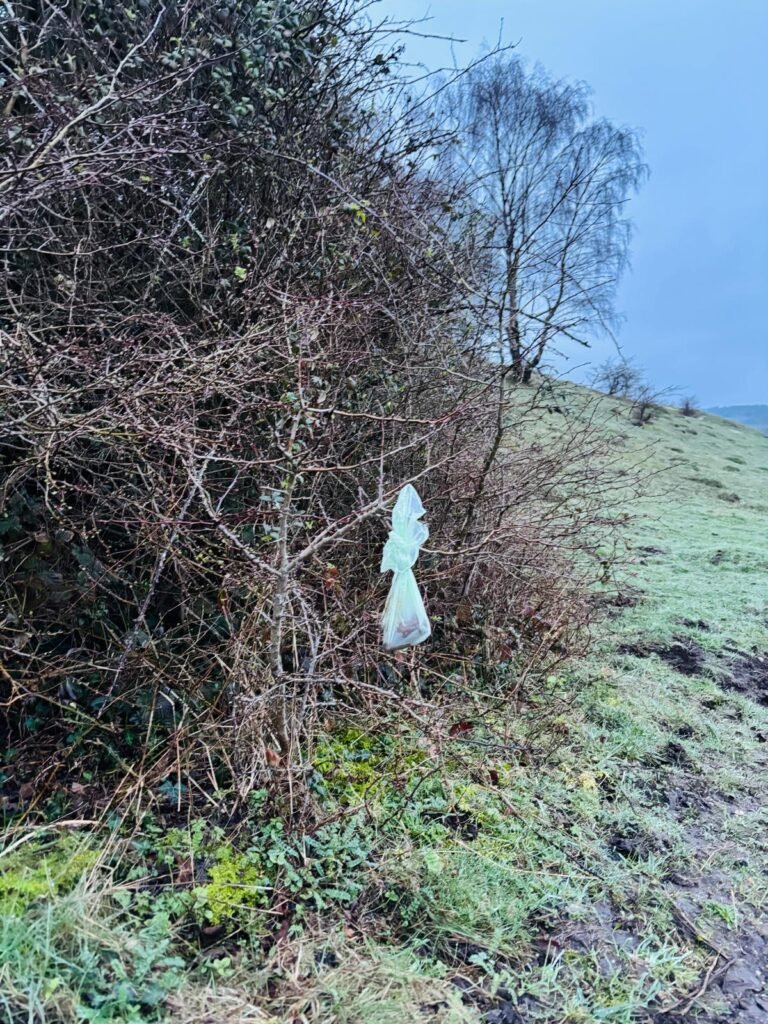
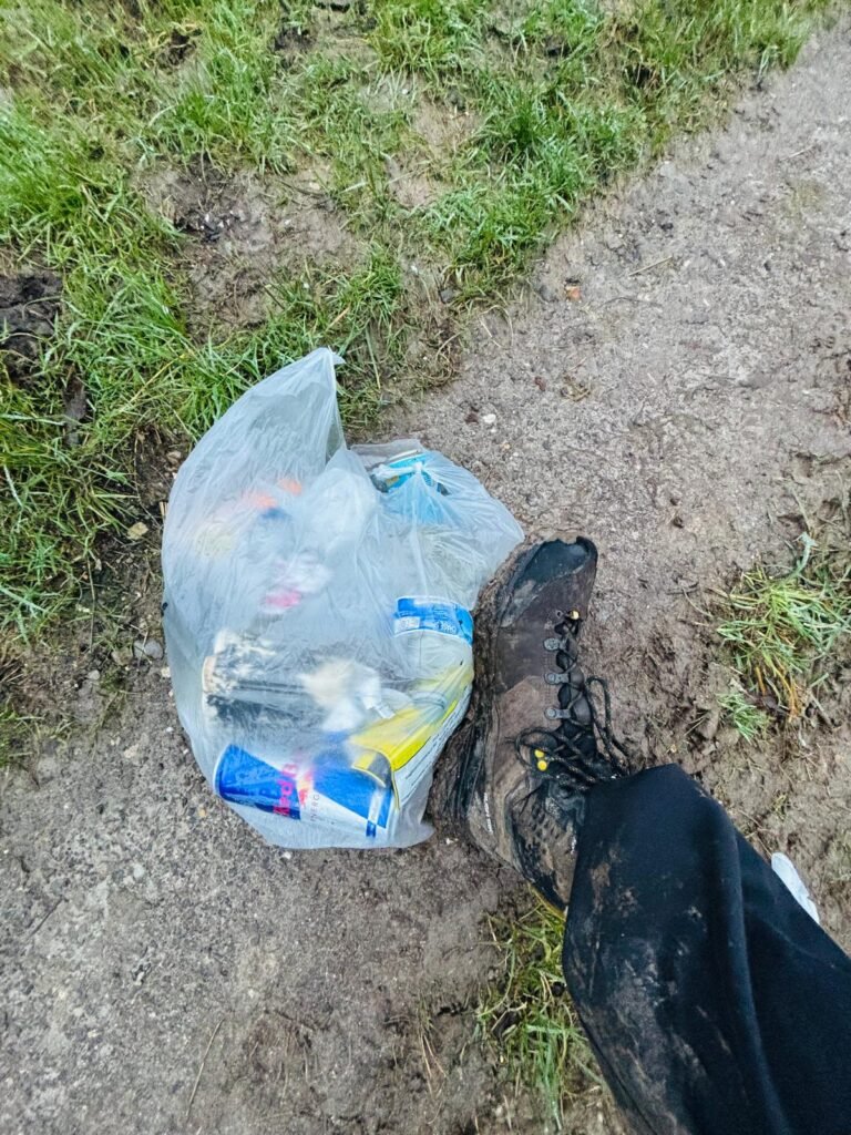
There’s quite a bit of litter around the hill. Bottles, dog poo bags thrown into bushes and caught in the brambles. It’s a shame, because it’s a historic place with real geological and ecological importance. But unfortunately, it’s a problem that isn’t unique to here.
I made my way back up to the top, grabbed a few more photos, then headed back to the car.
It’s a great little spot with some interesting terrain. I’m really happy that I managed to get as close to the M3 as I did, and even happier with the surprising long exposure shots.
I think I was lucky weather-wise, it was drizzly with not many people around – which probably worked in my favour.
A different kind of camp, but a good one.
I’ve also put together a separate post covering the practical side of this camp – including dates, access, coordinates and a full kit breakdown with video. If you’re planning a wild camp around St Catherine’s Hill, you can check that out here: M3, St Catherine’s Hill, Hampshire: OEX Phoxx 1V2 Tent Motorway Setup.
A Gentle Encouragement
If you have any questions, feel free to get in touch via social media or the contact page.
I appreciate you taking the time to read this, and I’d genuinely like to hear your thoughts – good or bad.
Thanks again,
Dan


Responses